La rÉunion:
A hike to the summit of
Le Piton De La Fournaise


La rÉunion:
A hike to the summit of
Le Piton De La Fournaise


It was just another ordinary summer day on the island of Reunion, a tiny spec in the vastness of the Indian Ocean. It felt like somebody forgot to switch off the oven and humidifier at the same time. We were literally living and sleeping in a sauna. Nothing worked to remove the spell of an incredible weight of heat and humidity put on 700,000 inhabitants of the island. Not even the mighty Ocean. It was too warm. Reunion Island was doomed for another scorcher. Just several hundred kilometers off shore, a giant tropical cyclone was swirling its spirals toward La Reunion...
A hike to the summit of Le Piton de la Fournaise, La Reunion island
Thursday, 22 January 2009
OR: The Day when I saw how the Earth’s surface was formed


A view from above the caldera. The southern walls of the caldera rise more than 100 meters above the caldera floor. Our descent lasted for about 45 minutes.
Fabrice, carefully planning our hike. He was inside the caldera just several months ago, doing some electrical conductivity measurements with Earth science students.
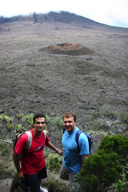
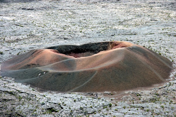
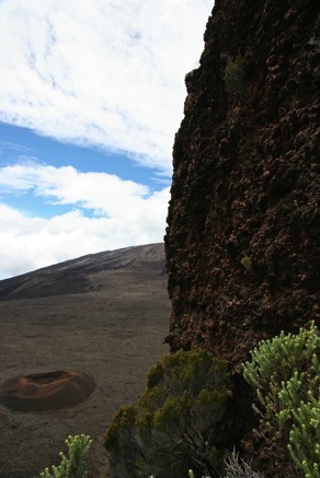
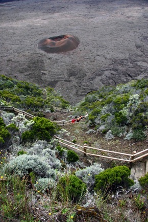
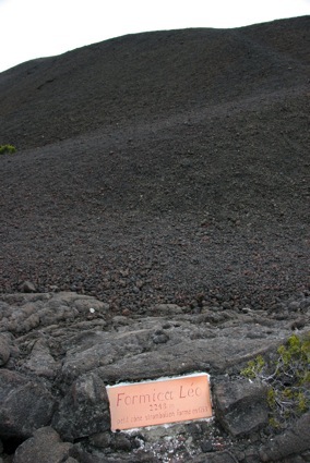
During the descent to the caldera floor. The crater Dolomieu in distance, rising about 350 meters above the caldera floor. A miniscule crater Formica Leo is visible on the floor. This crater was formed during the 18th century eruption. This is our next stop.
We left Formica Leo behind.
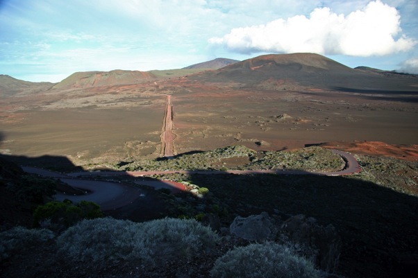
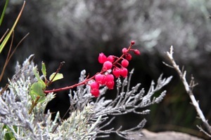
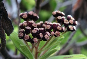
Local vegetation and views from the caldera walls of the beautiful Bellecombe pass.
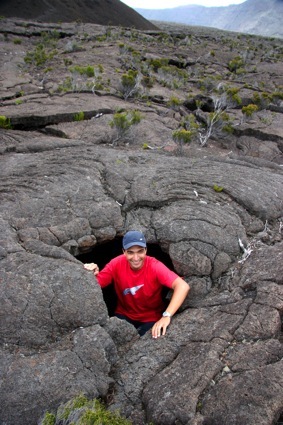
On the way to Formica Leo crater. Fabrice in what remained of an ancient lava tube. There is still some vegetation present here, mainly shrubs.
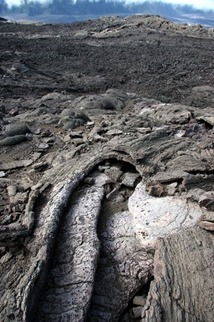
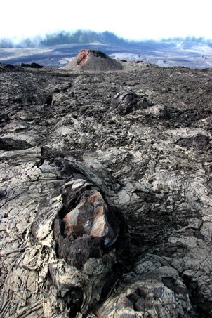
The landscape of frozen lava flow was amazing. The clouds didn’t ease photographing, but they were giving to the whole place a very mystic look. We haven’t seen people for hours after this point.
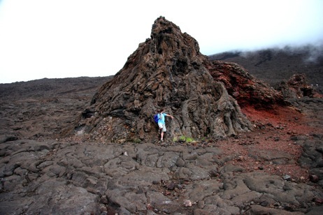
Wow! La Chapelle de Rosemont is a tumulus-looking place, like some ancient burial mound, nothing less spectacular than the surrounding landscape. According to Fabrice, there were once stalactites and stalagmites, but the human nature is sometimes worse than the tooth of time. They are all gone. A tiny spider web was a sign of a presence of the cave inhabitants. Moisture can survive longer here.
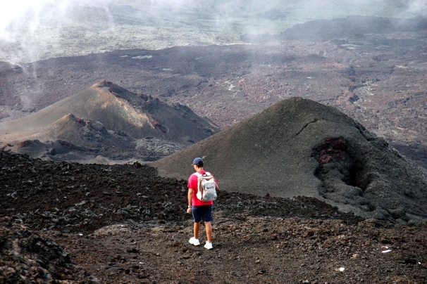
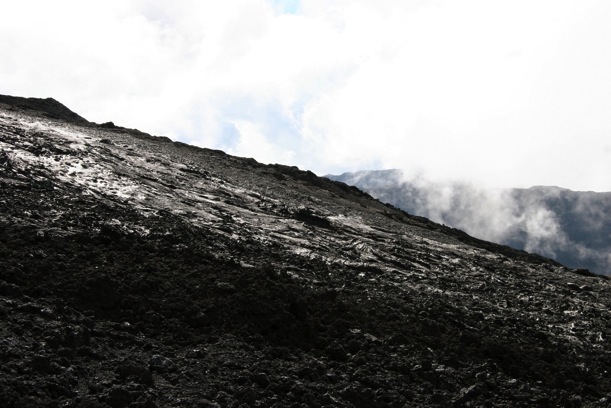
Some scenes from the climb to the volcano summit. The photo in the bottom shows a slope of the volcanic glass (Obsidian). It is formed by the rapid solidification of lava without crystallization. The last major eruption took place in 2007. The volcano is showing activity from the week before my visit to La Reunion. We could smell sulfur at this point. This hill is alive! Needless to say, we are the only people around.
We hiked back through the landscape whose
look truly justified the name given to the place. It was a real furnace of melting
rocks and glass, a spectacular conglomerate of extraterrestrial terrains, and a true witness of a not so distant violent past and
remarkable events that once formed the Earth's surface. To me, it was a reminder of how
small and insignificant we are in the Universe in a way that we cannot wrap our minds around it.
H.T. January 2009.
Formica Leo crater photographed from the caldera walls. It was about 30 minutes away from us. The weather was still fine. The basaltic rocks of the floor look like the plain of mud, at least from above.
Reunion Island is a surface manifestation of what geophysicists
like to call “hot spot”, a hot material from the Earth’s mantle, which
penetrates to the surface through the crust. I should probably mention that it is highly debatable whether the mantle plumes could actually
be observed or not, as the seismic tomography doesn’t yet have enough resolution to
image their shape.
Anyway, the island is a part of a gigantic volcano resting on the ocean floor, which is
about 4000 m deep in that part of the Indian Ocean. About 3 million years ago, the accumulation of lava rose above the sea level. One of
the most active systems, the Fournaise range, consists of a series of scars and calderas, a horse-shoe like indentations in the Earth’s
surface, with steep walls, which formed when magma chamber emptied and collapsed on itself vertically. In the middle of the gigantic
caldera Piton de la Fournaise (about 10 km in diameter), at the elevation of about 2600 meters, there are two craters: Bory and Dolomieu,
whose summit was our destination. But before that, we had to hike down the steep walls of the caldera, walk across its floor, hike the
crater and reach the summit. We chose the Bellecombe pass. All together, our trip lasted about 10 hours, and the hike itself about 7
hours.
Whatever awaited inside the caldera was a world within itself. Square kilometers of black and oxidized pahoehoe lava in a variety of colors that formed amazing shapes and an extraterrestrial looking, frozen-in-time landscape. There are numerous aerial images of eruptions, the caldera and the volcano on the internet. I hope that the following photos give a glimpse of how it looks INSIDE.
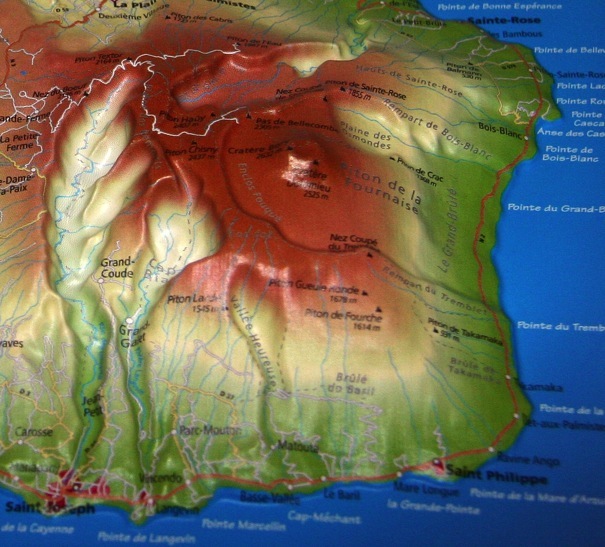
It was, indeed, a great day to escape to the high lands, with its
cooler and dry climate and arid vegetation. And it turned out it was a perfectly planned logistics for my stay on the island and the best
day chosen by my kind and extraordinary hosts, Fabrice, and his father Maurice, whose house is situated on the southern tip of the island,
in a small town called Vincendo.
We got up early in the morning, took plenty of water and enthusiasm with us, and drove up toward the high lands in Fabrice’s petit blue Peugeout. With so many French cars on the island, it was impossible to imagine, even for a tiny moment, that we were on one of the Hawaiian islands.
It was just another ordinary summer day on the island of Reunion, a tiny spec in the vastness of the Indian Ocean. It felt like someone forgot to switch off an oven and a humidifier at the same time. We were living and sleeping in a sauna. Nothing worked to remove the spell of an incredible weight of heat and humidity put on 700,000 inhabitants of the island. Not even the mighty Ocean. It was too warm. The island was doomed for another scorcher. Just few hundred kilometers off shore, a giant tropical cyclone was swirling its spirals toward La Reunion...
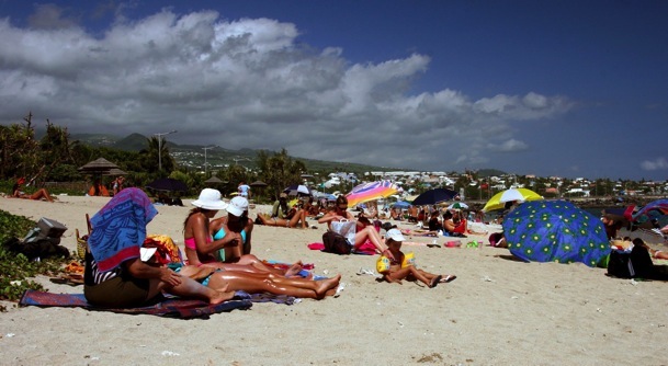
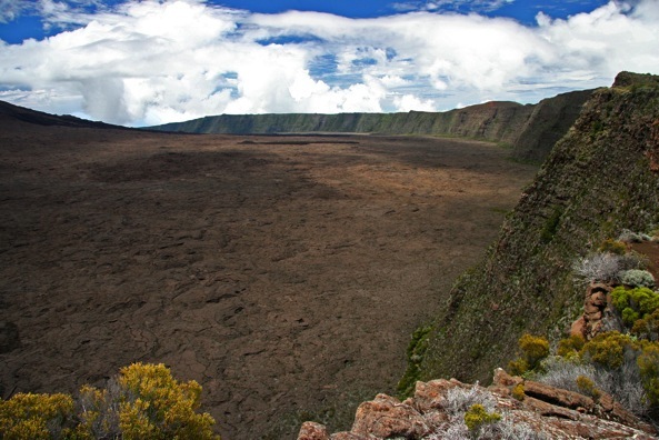
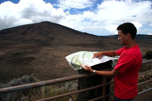
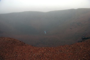
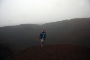
The weather here changes very quickly. White, dense clouds from the north suddenly reduced the visibility to several meters. The caldera walls disappeared from our sight and rain started pouring. We found ourselves in the middle of the clouds. I had to put my camera to a safe place. As it started clearing up again, we took several shots at Formica Leo and continued our way toward the volcano foothills. The next stop were La Chapelle de Rosemont caves.
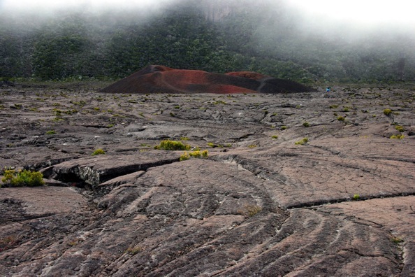
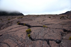
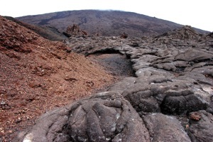
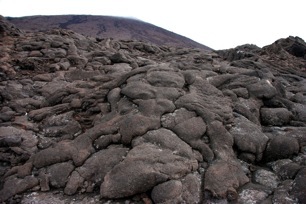
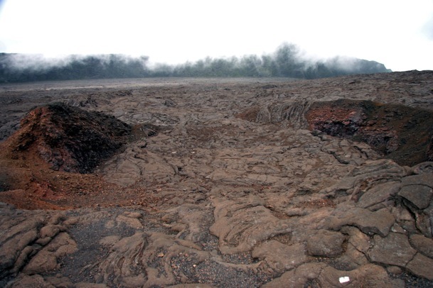

Note how this ancient pool was once filled by lava, flowing inside, which is visible by the flow pattern on the farther edge of this feature.
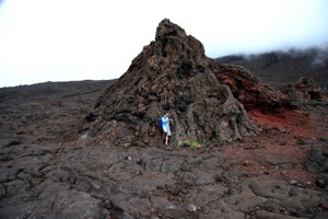
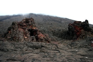
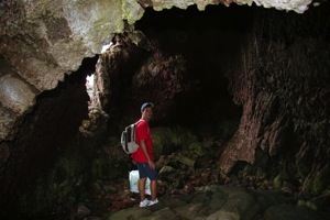
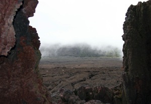
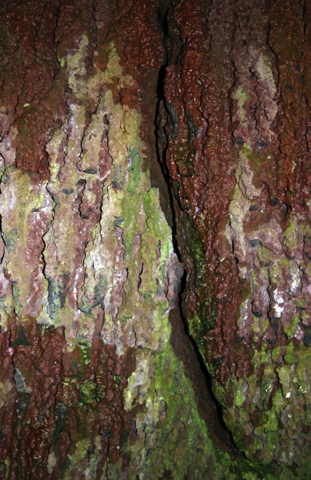
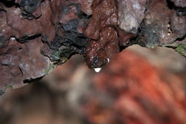
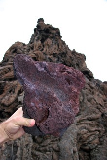
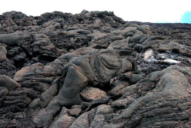

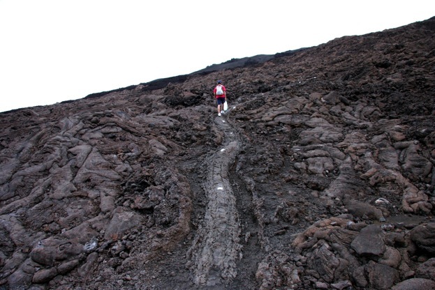
Finally, we arrived to the foothills of the main crater. It takes one to two hours to climb to the summit, depending on the direction and the pace of climbing. The terrain consists of twisted and turned basaltic rocks, holes, cracks, unconsolidated and loose volcanic soil, breccia, sill, volcanic glass. The climb is forbidden to tourists, and due to the recent activity and constant collapses, potentially very dangerous. By this point, we were already hiking for three hours, and the weather was getting warm. But the volcano was calling us.
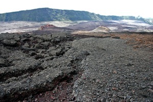
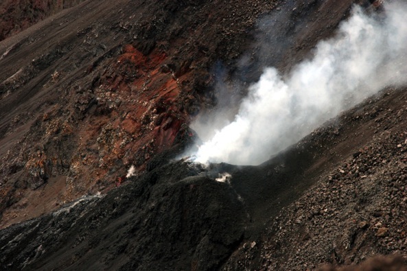
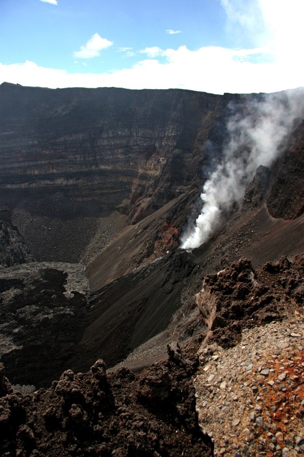
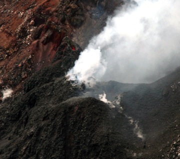
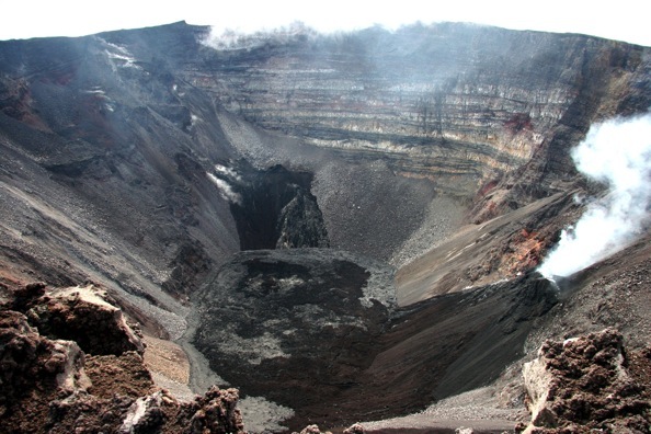
A look inside the volcano
from the summit. It took some courage to approach the rim. This is because of the danger of a collapse. Collapses of the
material near the rim are a fairly common occurrence. They occur without warning. Believe me, you don’t want to fall
inside. Officially, nobody should approach the area within 200 meters of the rim. We walked around the rim like cats
around hot porridge for about half an hour, until we found a spot from which we could approach the rim and take a peek
inside. I took several photos in a hurry, just 1 meter away from the rim. One can see an active vent and even a spot of a
red hot lava in one of the photos. The sound that the volcano was producing was probably due to a periodical ascending
and descending of lava up and down the vent (like a gigantic pump). It was stunning. It was like the sound of
powerful ocean waves hitting the rocks in a periodic manner, amplified by the shape of the cone. It was scary and
astonishing at the same time. An accompanying sound was one of crackling, like cracks of varnished surface, coming from
deep below. I was standing small and humble, listening to this spectacle of nature, while the adrenalin was getting high.
The mountain was indeed alive. I thought: “Not this time, sorry, I am not ready yet.” and rushed down the slopes of
the volcano, leaving this beautiful monster behind.
For an interesting personal story about 1998 eruption, there is a web
site:
